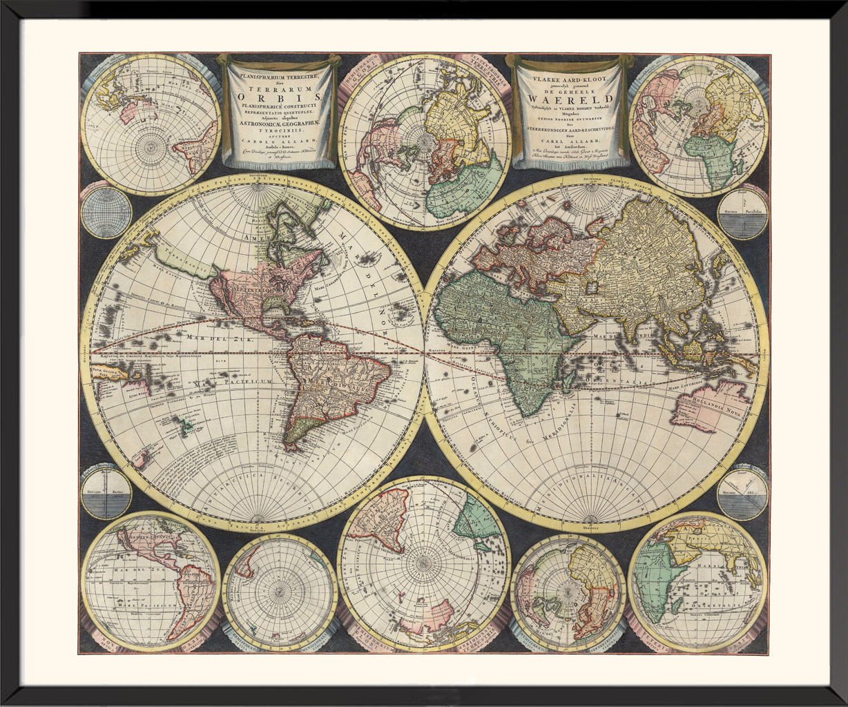
Terrestrial Planisphaerium, 1696, Carel Allard
One of the world's first multiple hemispherical maps, surrounded by twelve insets, eight small projections representing the world in various orientations, and four small pie charts of hemispherical projections. California, depicted as an island, the "Terra Esonis", stretches between North America and Asia. Also visible are the partial coasts of New Zealand and Australia as well as the coasts of the "Carpentaria" and the "Quiri Regio". Allard's innovative scientific style was copied by a number of other cartographers, including Schenk, Zurner, Homann, and Seutter, and replaced the traditional Baroque ornamentation of the late Dutch period.
Ready to be framed
80,00€
Posters on the theme “Tourism and Railways”
-
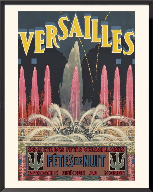
Versailles, night festivities, circa 1920, Ferdinand Prodhomme
30,00€ – 90,00€ -
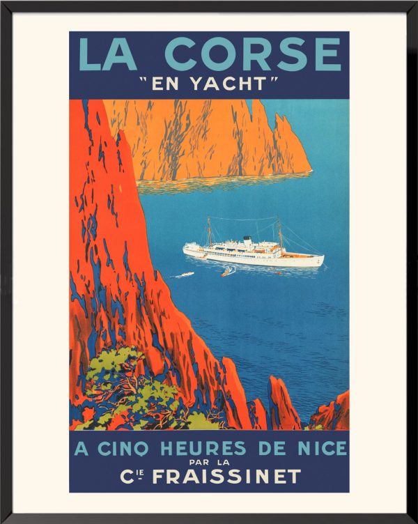
Corsica by yacht, 1920, Sandy-Hook
30,00€ – 90,00€ -
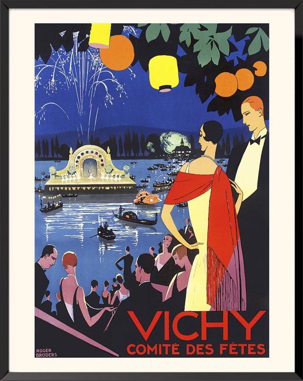
Vichy, 1930, Roger Broders
30,00€ – 90,00€ -
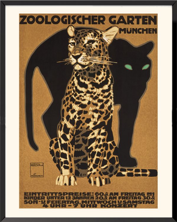
Zoologischer Garten Müchen, 1912, Ludwig Hohlwein
30,00€ – 90,00€ -
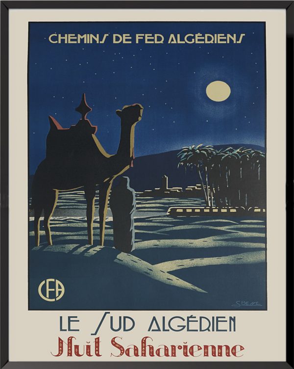
Algerian Railways, Southern Algeria, Saharan Night, 1930, S. Besse
30,00€ – 90,00€ -
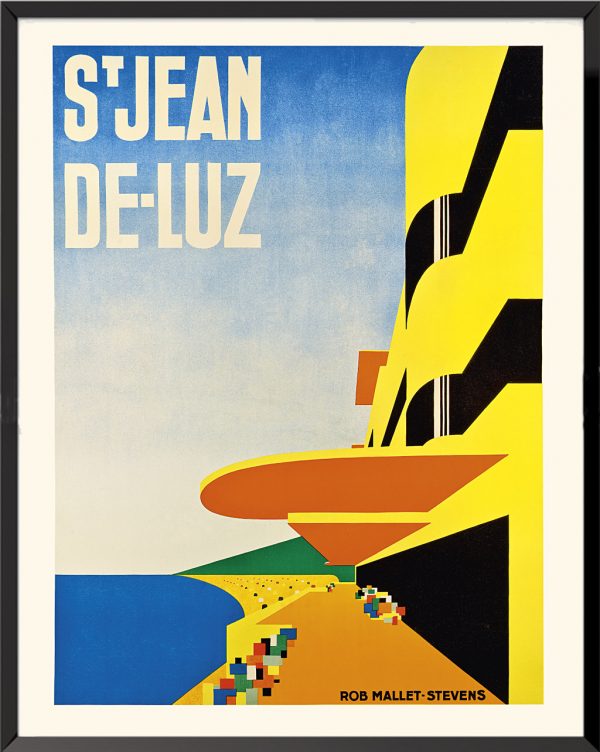
Saint-Jean-de-Luz,1928, Robert Mallet-Stevens
30,00€ – 90,00€ -
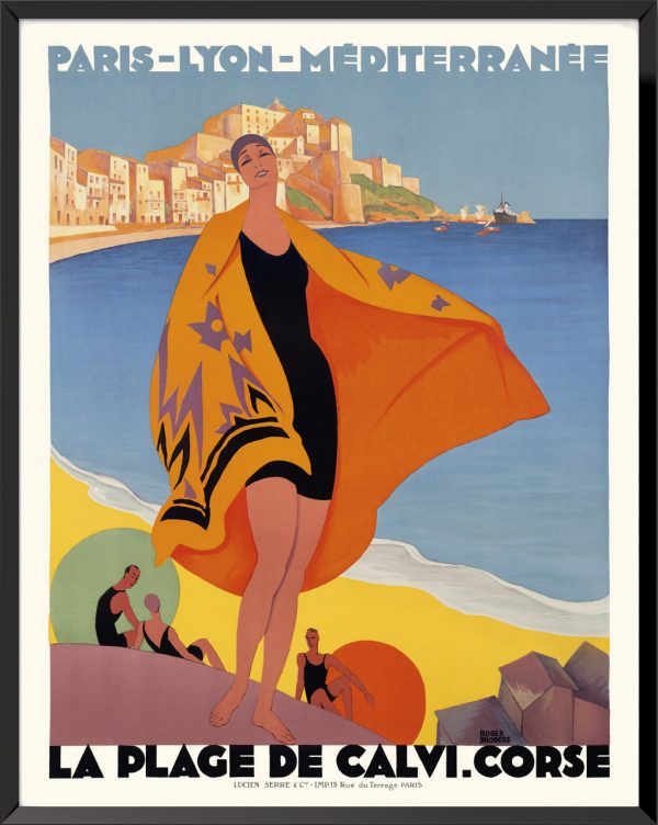
La plage de Calvi, Corse, 1932, Roger Broders
30,00€ – 90,00€ -
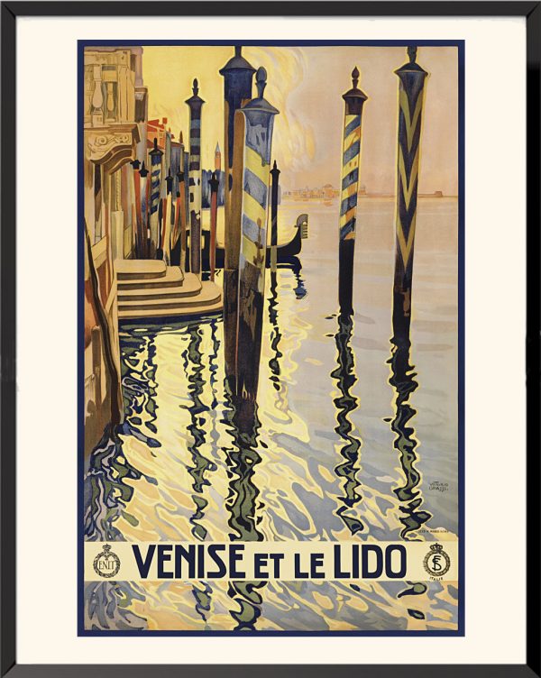
Venice and the Lido, 1930, Vittorio Grassi
30,00€ – 90,00€ -
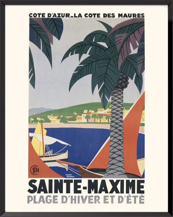
Sainte-Maxime, 1928, Roger Broders
30,00€ – 90,00€ -
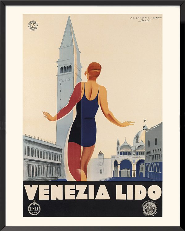
Venezia Lido, 1930, M. Dudovich and M. Nizzoli
30,00€ – 90,00€ -

La Baule-les-Pins, 1926, Leonetto Cappiello
30,00€ – 90,00€ -
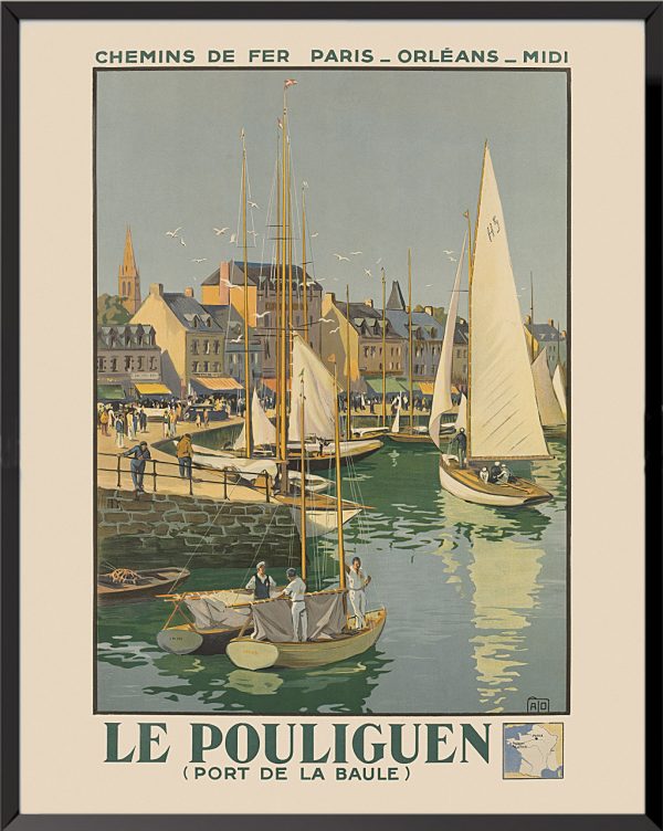
Le Pouliguen, 1934, Jean-Charles Hallo
30,00€ – 90,00€ -
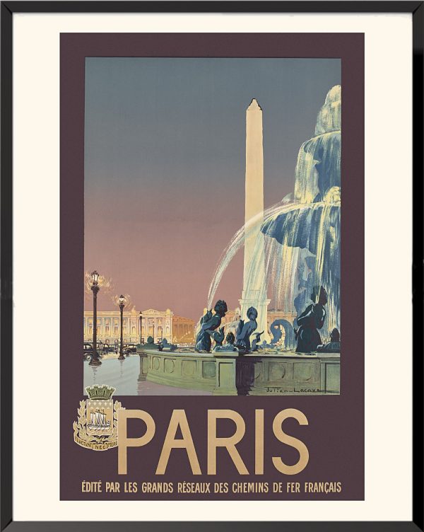
Paris, 1936, Julien Lacaze
30,00€ – 90,00€ -
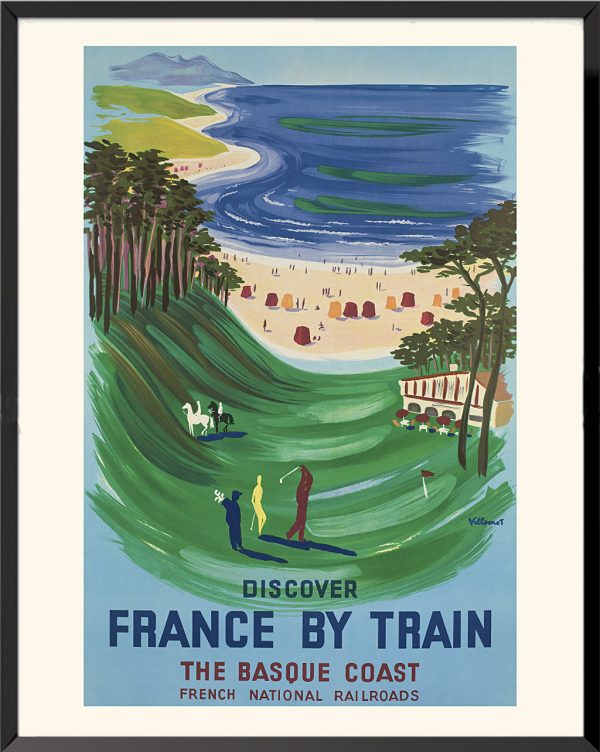
The Basque Coast, 1958, Bernard Villemot
30,00€ – 90,00€ -
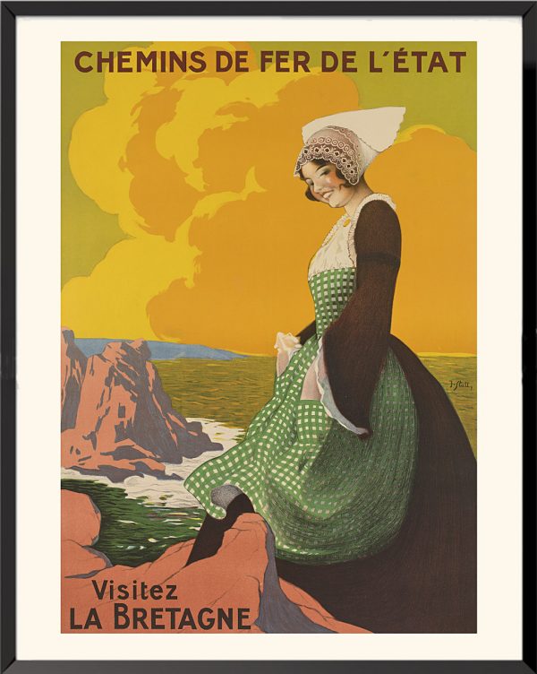
Visit Brittany, 1920, Joseph Stall
30,00€ – 90,00€ -
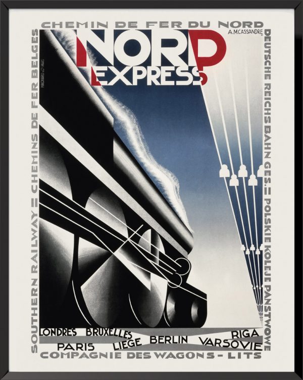
Nord Express, 1927, A.M. Cassandre
30,00€ – 90,00€ -
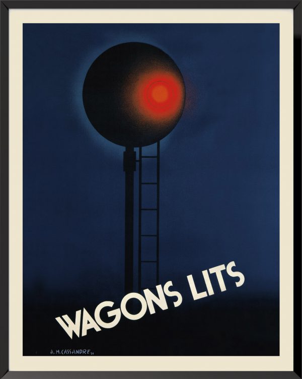
Wagons-Lits, 1930, A.M. Cassandre
30,00€ – 90,00€ -
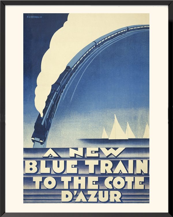
A New Blue Train to the Côte d’Azur, 1928, Pierre Zenobel
30,00€ -
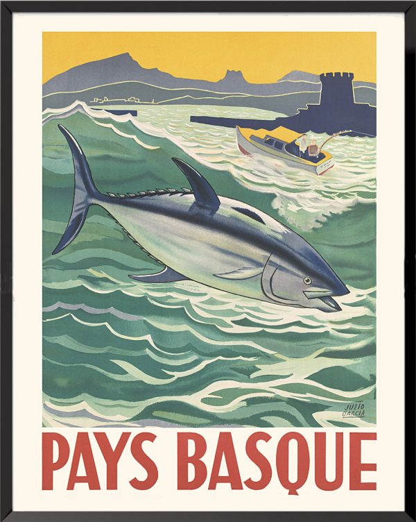
Basque Country, 1950, Julio Garcia
30,00€ – 90,00€ -
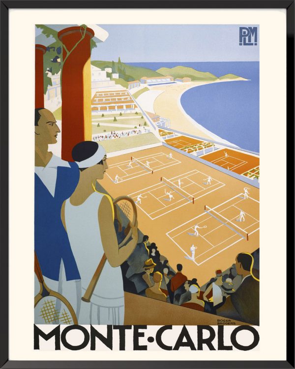
Monte Carlo, 1932, Roger Broders
30,00€ – 90,00€ -
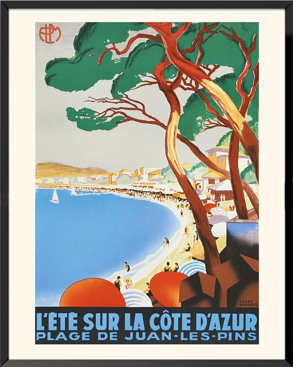
L’été sur la Côte d’Azur, plage de Juan-les-Pins, 1930, Roger Broders
30,00€ – 90,00€ -
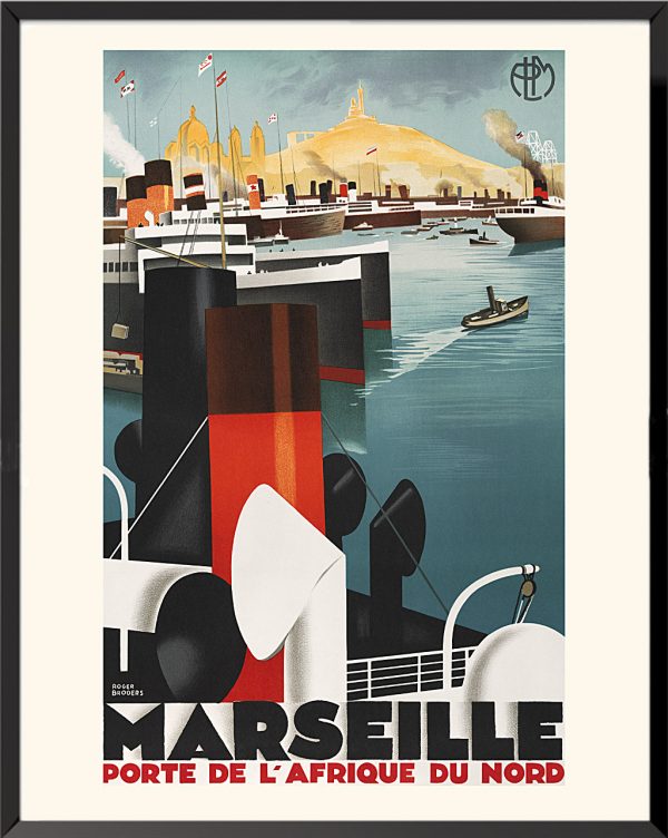
Marseille, porte de l’Afrique du Nord, 1928-1932, Roger Broders
30,00€ – 90,00€ -
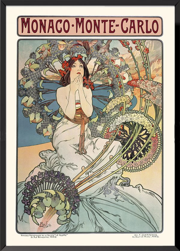
Monaco Monte-Carlo, 1897, Alphonse Mucha
30,00€ – 90,00€ -
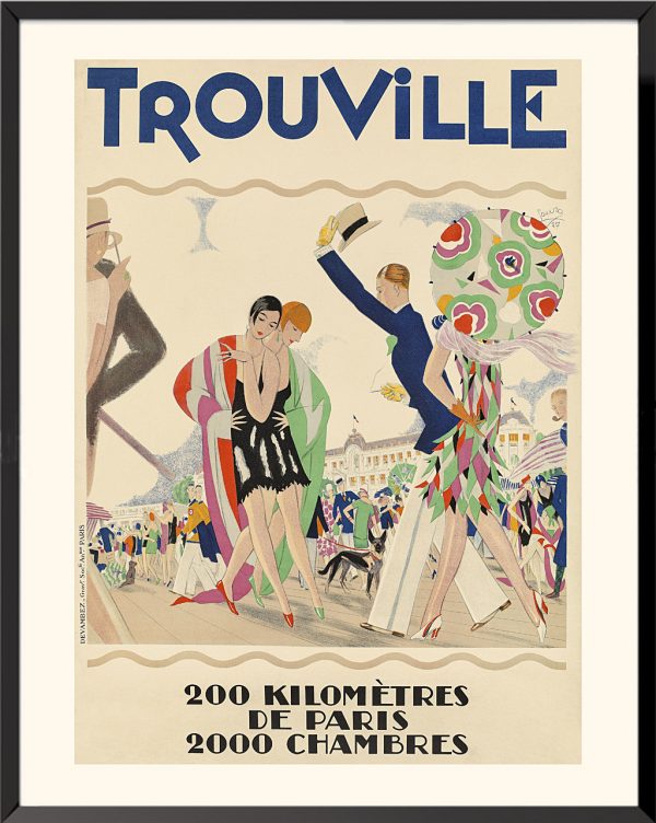
Trouville, 1927, Maurice Lauro
30,00€ – 90,00€ -
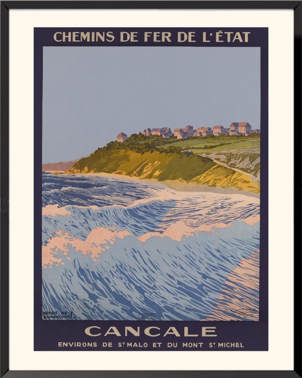
Cancale, around Saint-Malo and the Mont Saint-Michel, 1927, Henry de Renaucourt
30,00€ – 90,00€ -
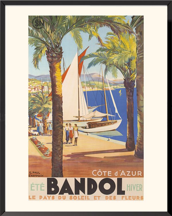
Bandol, the land of sun and flowers, 1937, Emmanuel-Paul Champseix
30,00€ – 90,00€ -
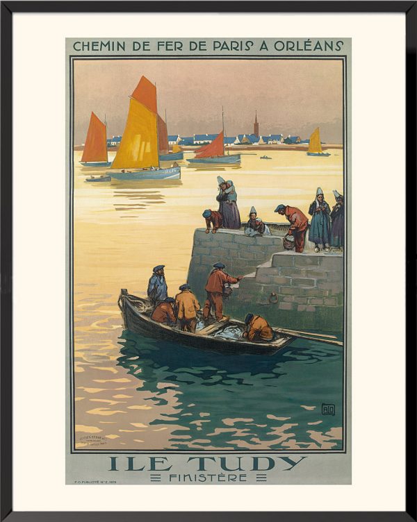
Île-Tudy, Finistère, 1929, Jean-Charles Hallo
30,00€ – 90,00€ -
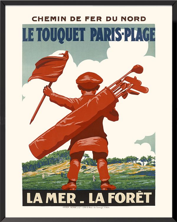
Touquet Paris Plage, the sea and the forest, 1925, Edouard Cournichoux
30,00€ – 90,00€ -
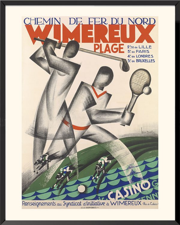
Wimereux beach, 1929, Léon Dupin
30,00€ – 90,00€ -
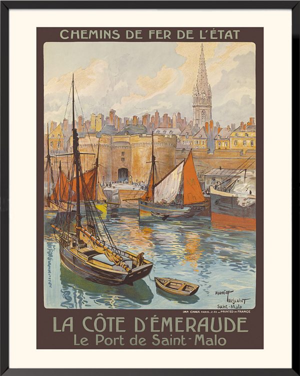
The Emerald Coast, the port of Saint-Malo, 1923, Maurice Toussaint
30,00€ – 90,00€ -
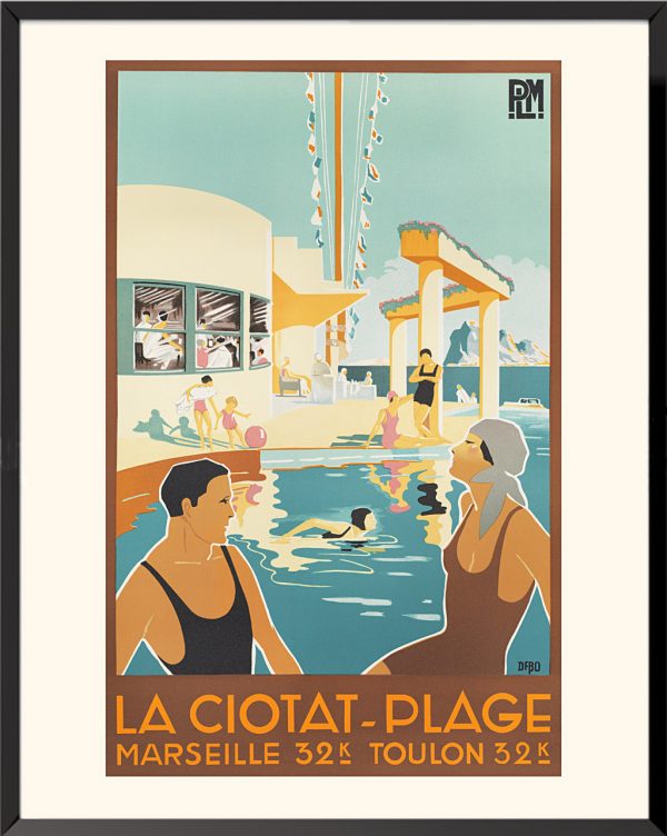
La Ciotat beach, circa 1930, Geoffroy d’Aboville known as Dabo
30,00€ – 90,00€ -
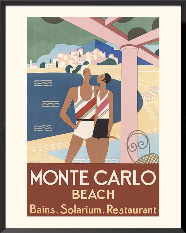
Monte-Carlo beach, 1929, Michel Bouchaud
30,00€ – 90,00€ -
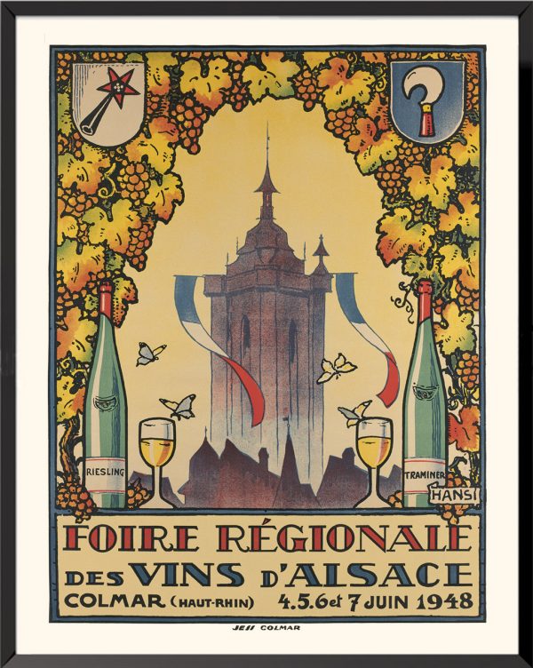
Alsace Regional Wine Fair, 1948, Jean-Jacques Waltz known as Hansi
90,00€ -
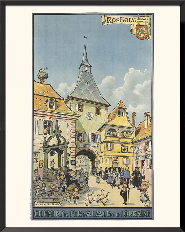
Alsace and Lorraine railways, Rosheim, 1930, Jean-Jacques Waltz known as Hansi
90,00€ -
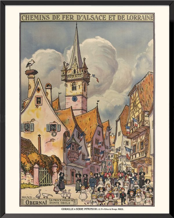
Alsace and Lorraine railways, Obernai, 1921, Jean-Jacques Waltz known as Hansi
90,00€ -
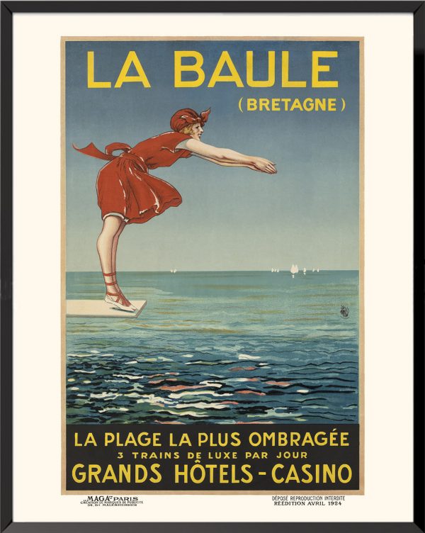
La Baule (Brittany), the shadest beach, 1924
30,00€ – 90,00€ -
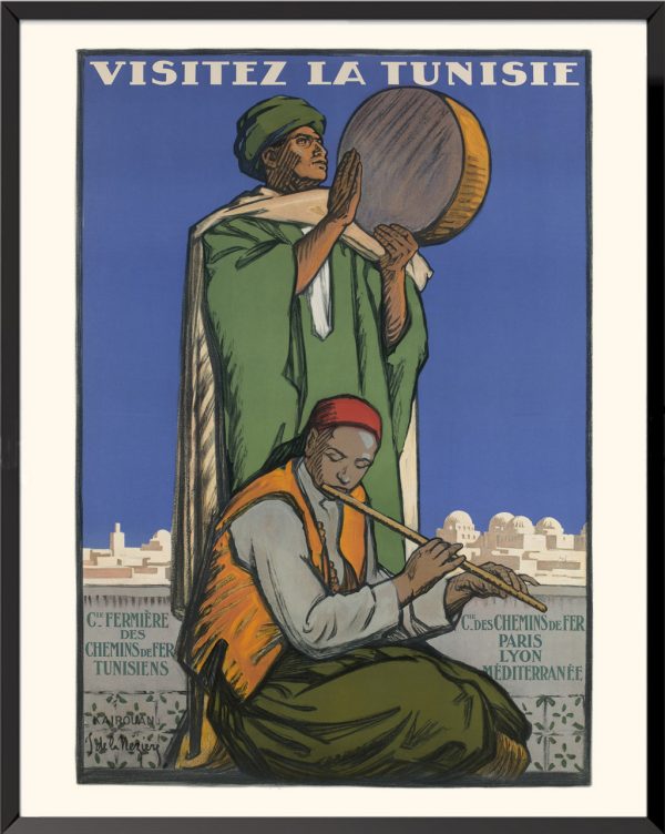
Visit Tunisia Kairouan, 1929, Joseph de la Nézière
30,00€ – 90,00€ -
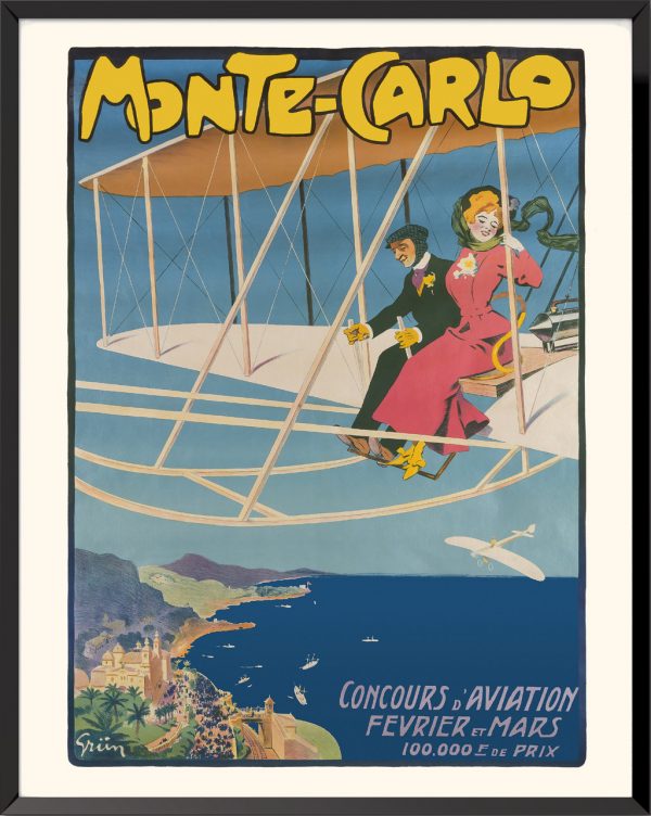
Monte-Carlo, aviation competition, Jules-Alexandre Grün, 1909
30,00€ – 90,00€